
#MapMondays – QUEENS COUNTY, 1891
Map of Queens County before consolidation, 1891. Purchase a print.
Today, Queens is the most diverse urban area in the world and the most diverse county in the country! Queens County was originally named after the British royalty, along with King's County (Brooklyn) in 1683 after the British seized New Amsterdam from the Dutch.
In 1897 New York State voted to consolidate Queens into one of the Five Boroughs that would make up New York City. But similar to Brooklyn, residents resisted, and in 1899, the eastern 280 square miles of Queens County became Nassau County, part of Long Island. The City Charter described what areas would be annexed into the borough Queens, "The city of Long Island City, the towns of Newtown, Flushing and Jamaica, and that part of the town of Hempstead, in the county of Queens, which is westerly of a straight line drawn through the middle of the channel between Rockaway Beach and Shelter Island, in the county of Queens, to the Atlantic Ocean."
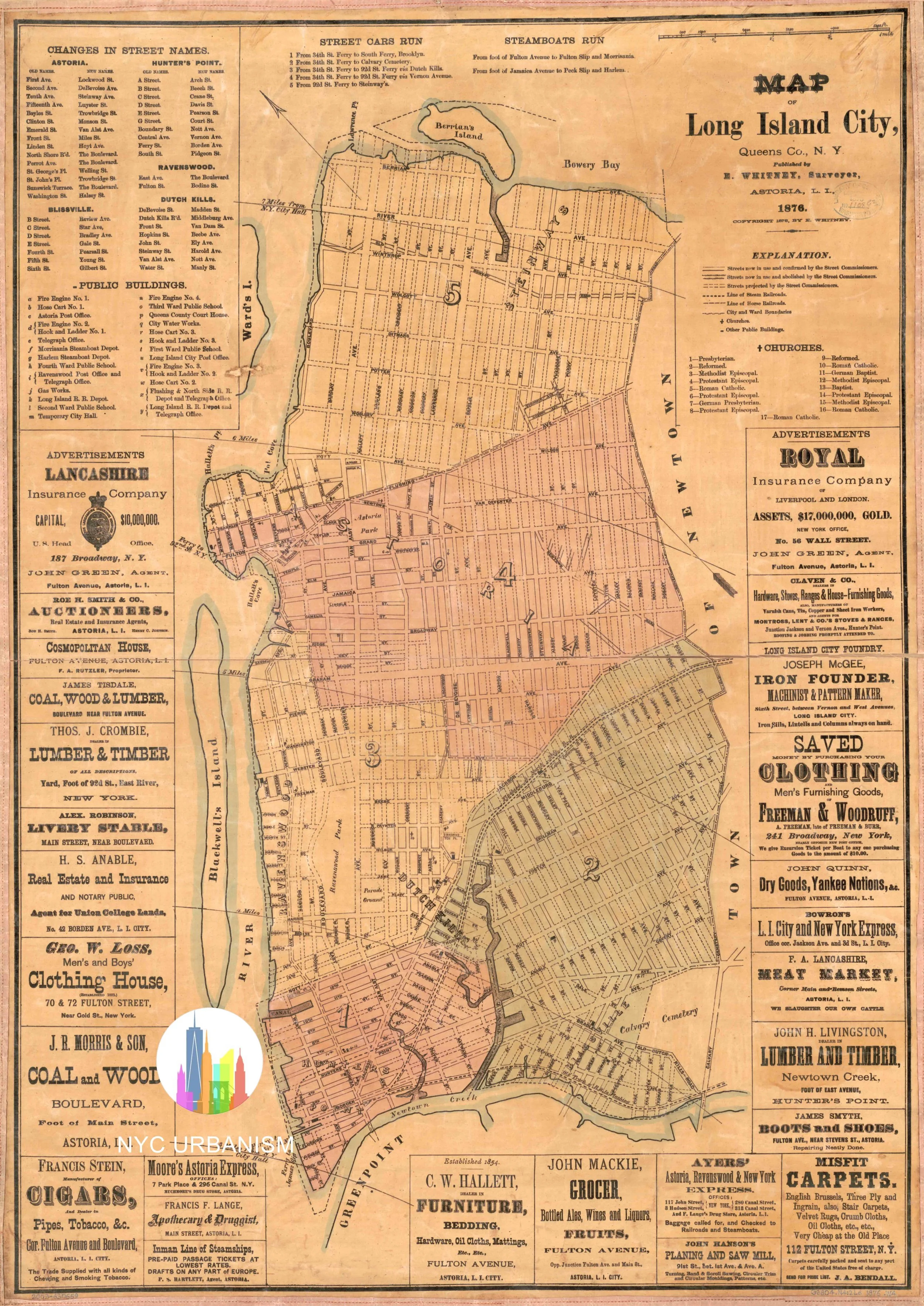
1876 Map of Long Island City surrounded by local advertisements.


The map covers all of Kings and Queens Counties, and parts of Long Island with insets of towns.