1908 Bird's-Eye View

1908 Bird's-Eye View
from $19.99
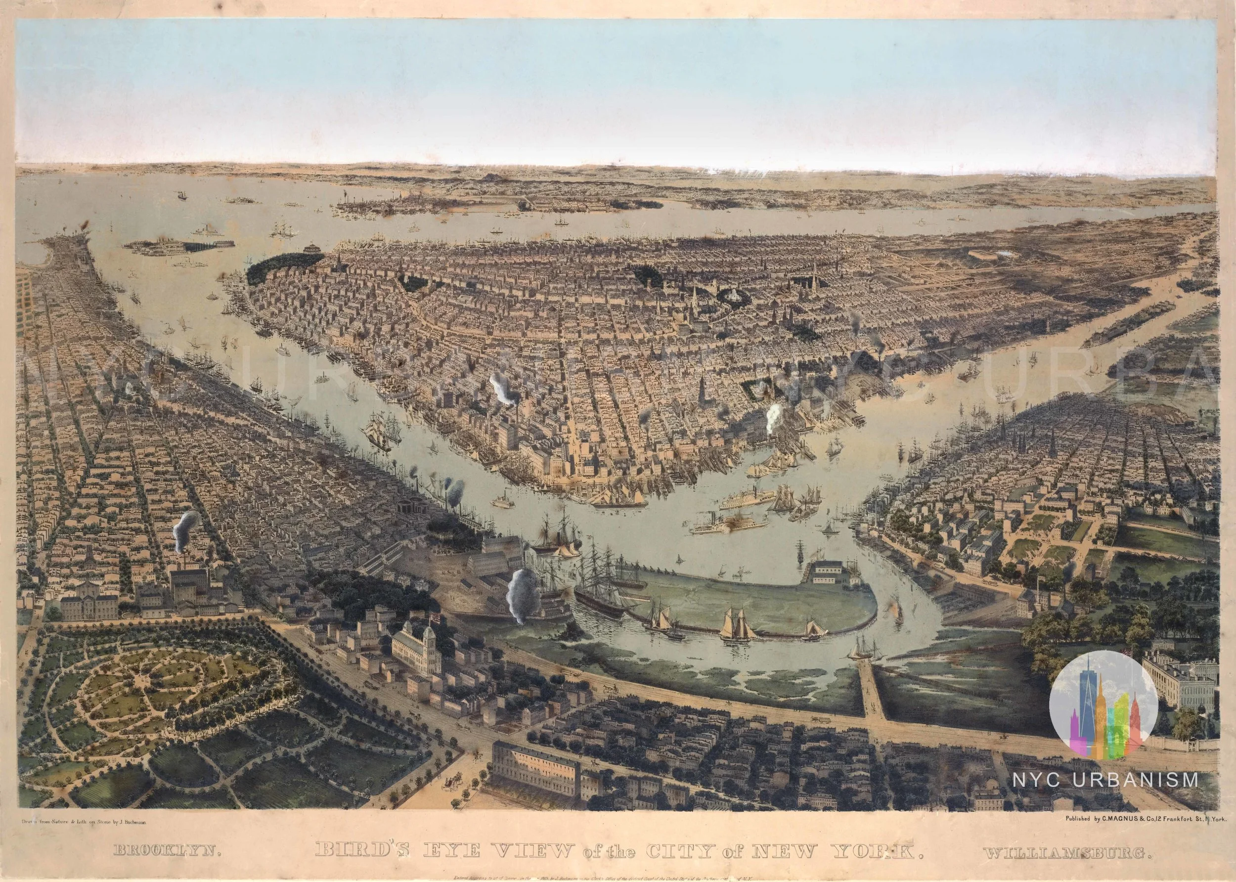
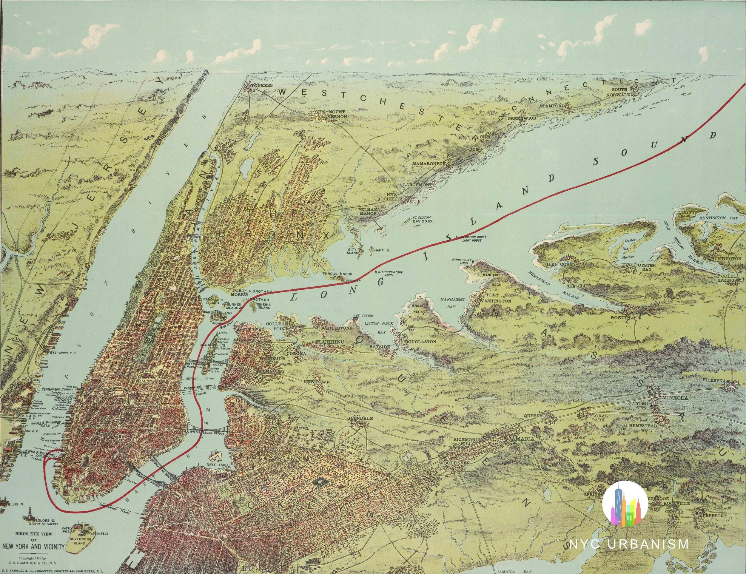
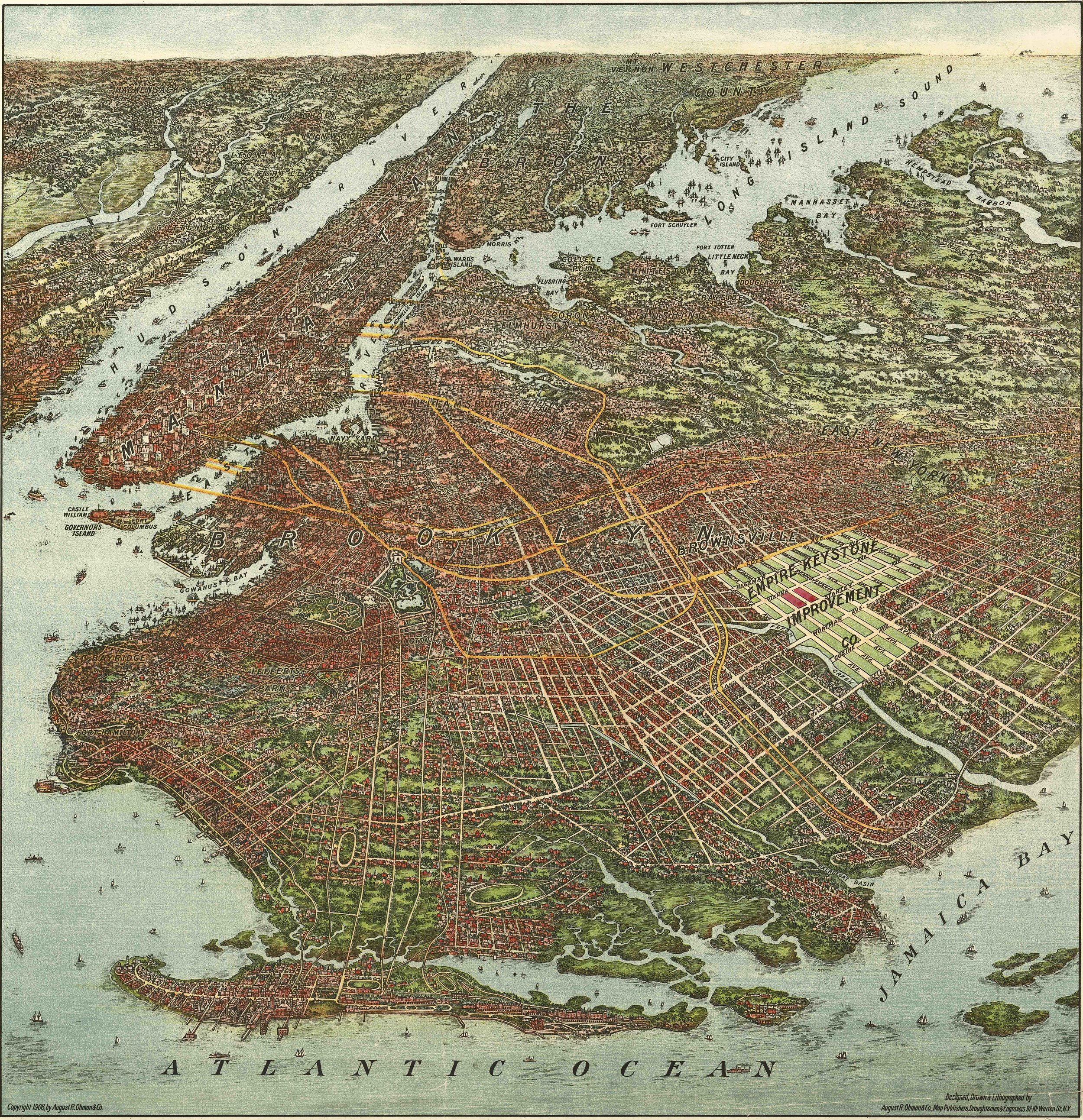
Bird’s-eye view of New York City, with sections of New Jersey and Brooklyn. Early skyscrapers including the Singer, Tribune, World, and St. Paul Buildings are all visible as are other landmarks. The turn of the century urban landscape is exciting to view at this level of detail, including; Newtown Creek, pre-channelization; The Navy Yard and the waterfront full of docks and slips; the absence of highways or large housing projects disrupting the street grid; and the largely undeveloped areas of outer Brooklyn and Queens.
Size:
Quantity: