
British drawn Revolutionary War era map

British drawn Revolutionary War era map
$22.99
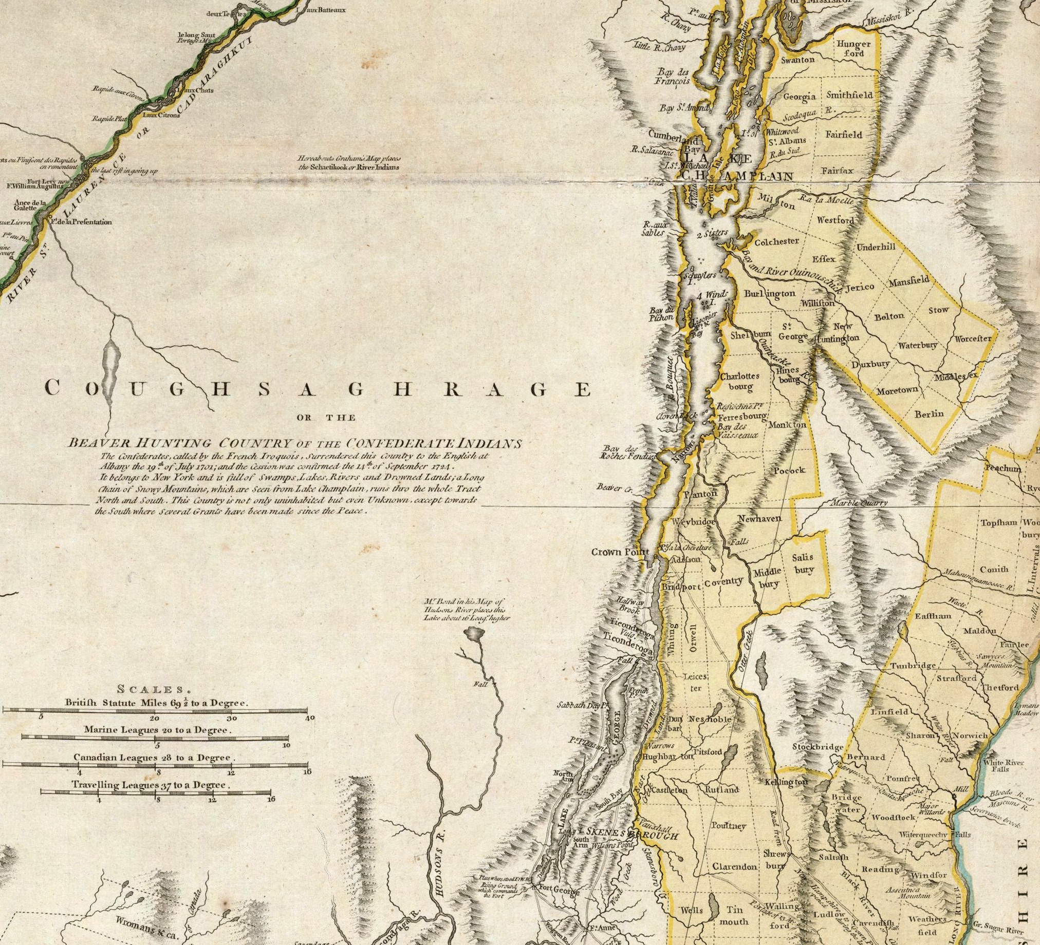
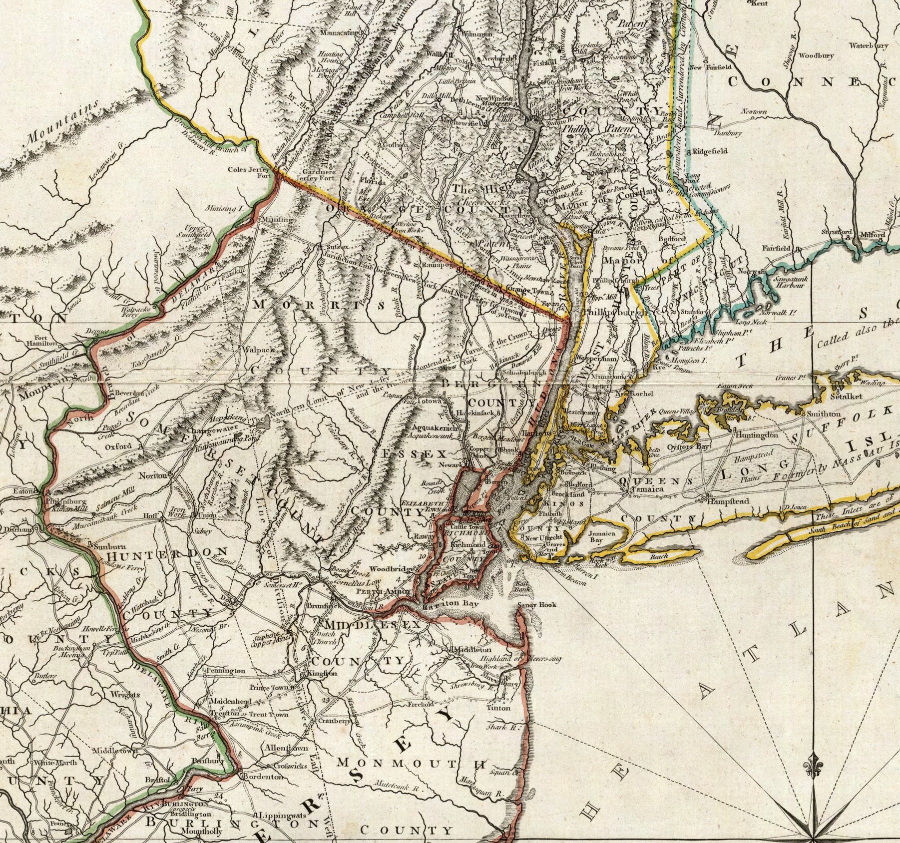
August, 1776 British drawn Revolutionary War era map of The Provinces of New York, New Jersey, part of Pennsylvania, Massachusetts, Connecticut, (today's Vermont in yellow) and the southern boarder of Province of Quebec with insets of Hudson County, Amboy and Lower Manhattan. This is a section of one of the most important atlases from the Revolutionary War, created by the King of England's Geographer.
Larger maps of specific quadrants of this map are available by request. Larger sizes are also available upon special request.
***Note the second and third images above are details showing the high resolution of the print.
***No watermark on printed version.
Quantity: